A Sanborn Map is a style of map that was created by the Sanborn Company to help with fire insurance. The first map was created in the 1860s and there are millions of maps available for property research. The maps have now been added to an online database and are easy to access as well as search through. However, many may be first time researchers or viewers of Sanborn Maps and have no idea how to read the material.
With Sanborn Maps, there are several interpretation points listed. Each point has a definition and purpose. Below are a few key points to help you understand Sanborn Maps and how they are read.
Keys & Colors
Complex information can be found on this type of map as each symbol stands for certain criteria. These maps were created for specific uses and each symbol has its own destination and meaning. When it comes to color, the role is most important. Color will help to shoe what type of buildings is represented on the map a well as what type of structure was used. Color was also used to determine if a building was made of fire proof construction.
Each color then coincides with a key so the user can determine each aspect of the property in view. Brick, frame, wood, etc are all terms used in the key alongside color for this determination. Keys are used commonly in Sanborn maps and are the main source of interpretation. The first sheet offers each key and the information to help you read the map.

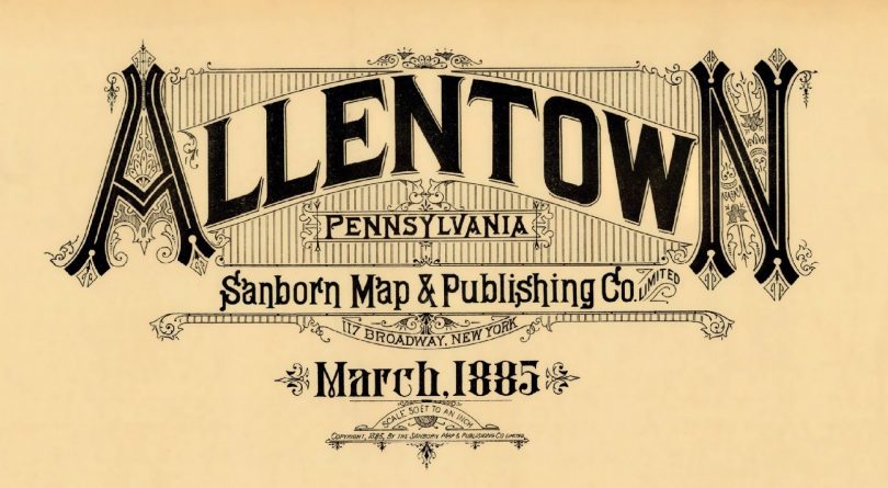
Title Pages
The title page will give you the information you need on the city or area of the map in question. These sheets may also contain fire protection service aspects that were used at the time of the map’s creation.
Fire Services
Fire services are also reported with Sanborn maps. Most maps will include information about the fire department at the time including how many people work at the department where they are located and aspects of the department such as how they train and what type of services are
rendered.
Interpreting Scale
Sanborn Maps are also drawn to a scale of one inch to fifty feet. When it comes to suburban areas and larger industrial sites, a smaller scale is used. A one inch to one hundred feet scale is common for this map type. Sometimes even smaller scales are used when the need arises.
Street Index
A street index is another important aspect of a Sanborn Map. This sheet would contain information of every street on the map. These streets would be listed in alphabetical order and would include street number an avenues. Address ranges can also be listed under each street name to provide more information for the user.
Publication Dates
When researching property, the publication date is another important aspect. During the first fifty years of mapping, the dating would take place in a straightforward manner. However as time passé, the pages would be published different and the year would be placed at the top of the map. Some dating is even complicated. Some corrections were made over time and these maps will have Correction Record associated with the paperwork.
These are just a few of the aspects that are associated with Sanborn Maps. This information comes in handy when conducting research and should be learned fully by anyone who has an interest in such research.
Martha White is an avid blogger who is very interested in historical research. She uses Sanborn Maps during her property research to see how the property was used in the past.